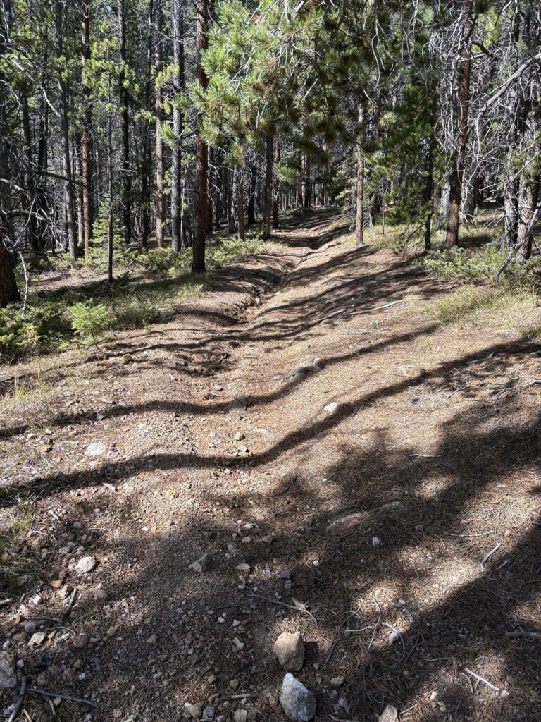
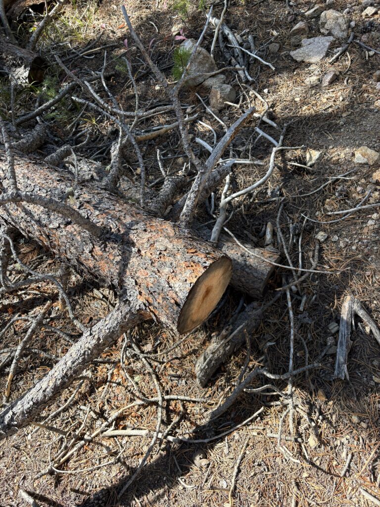
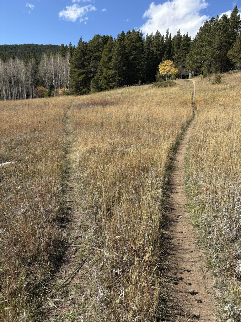
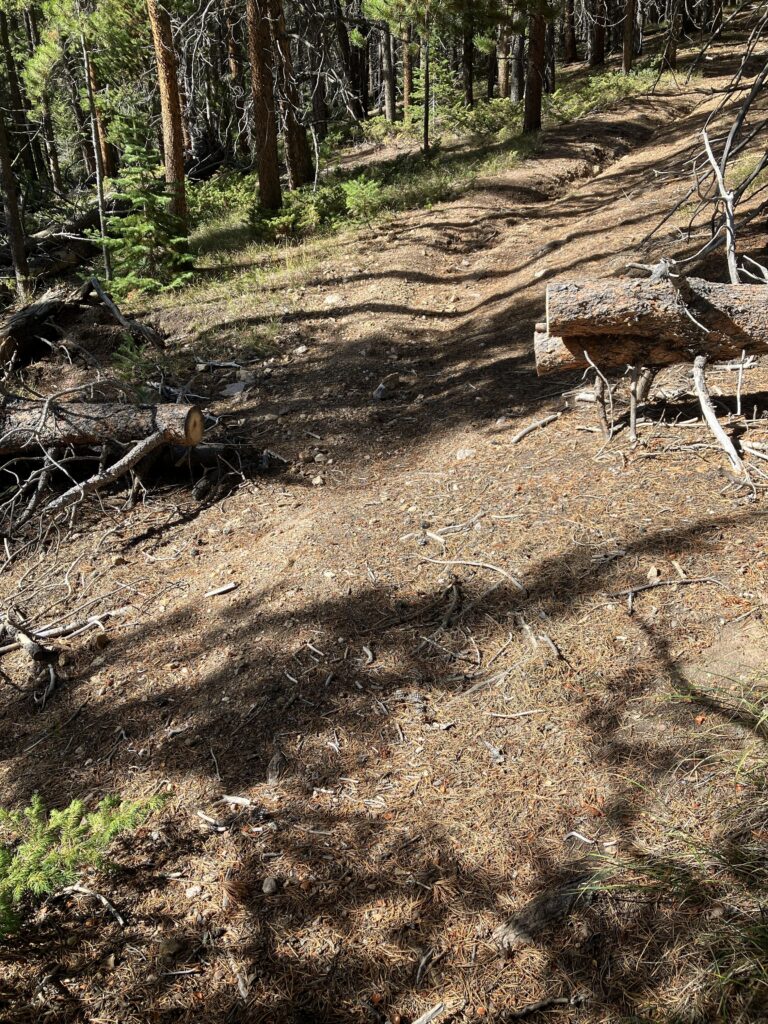
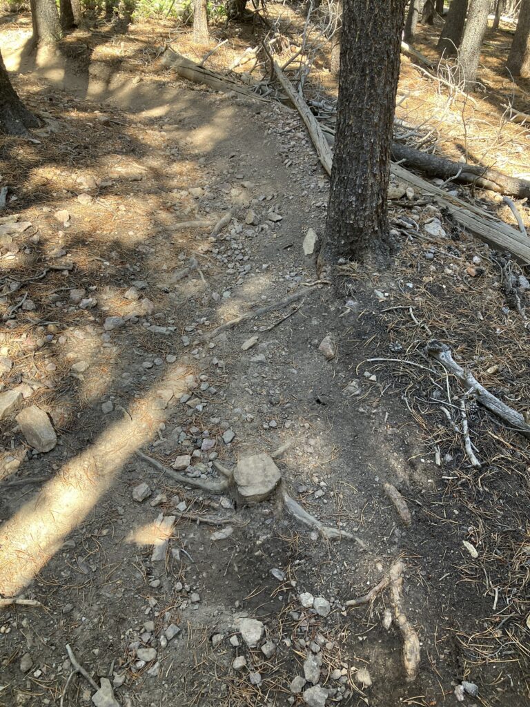
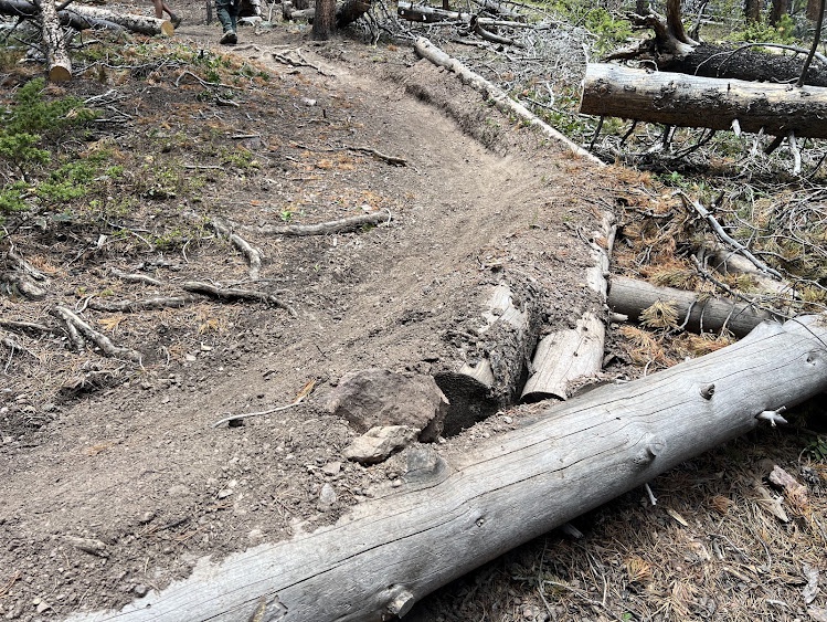
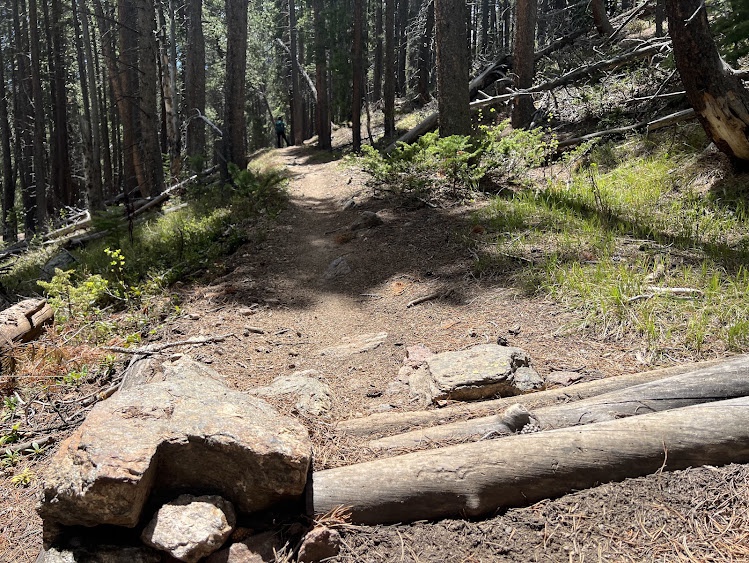
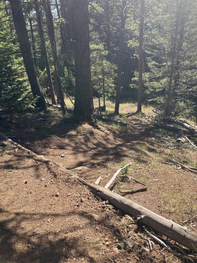
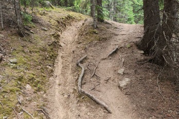
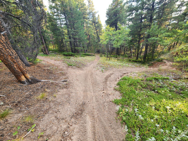
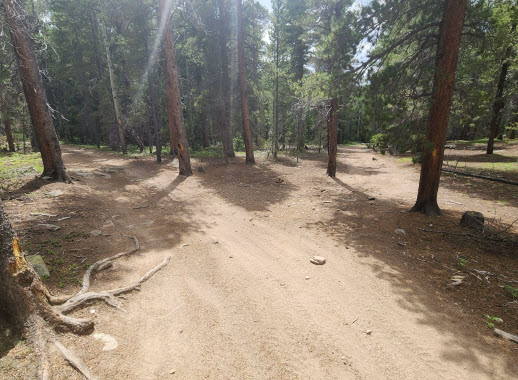
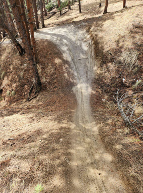
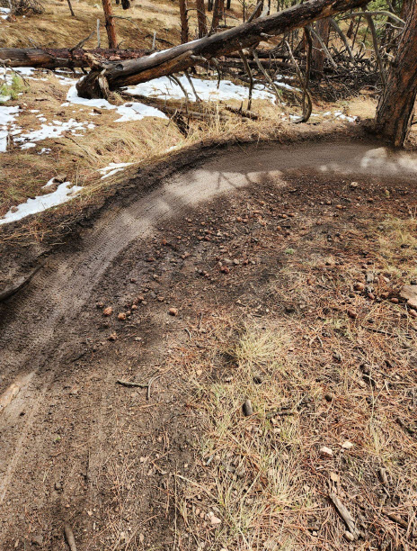
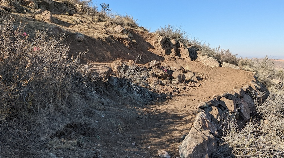
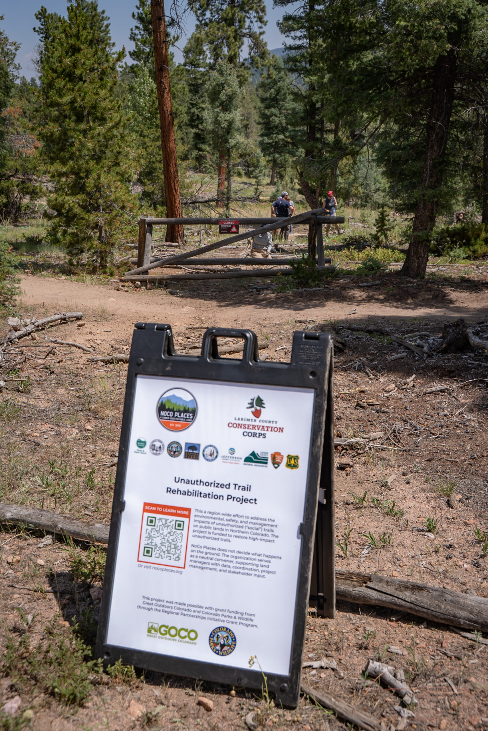
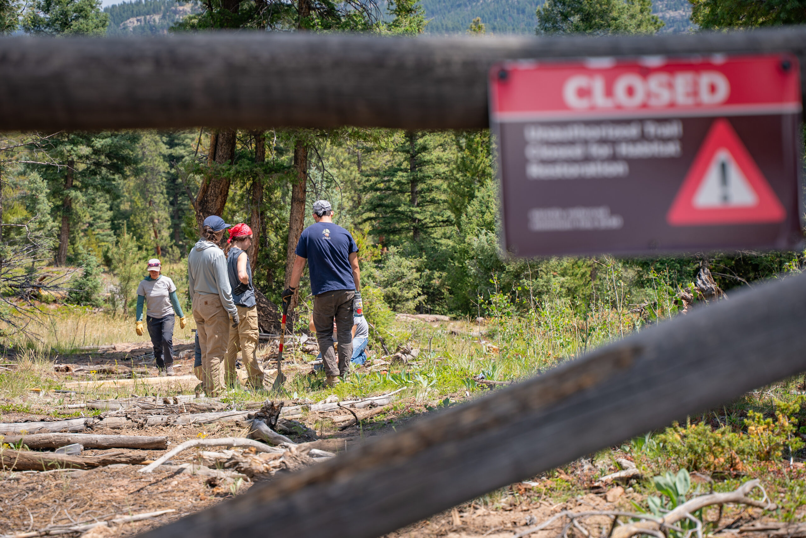
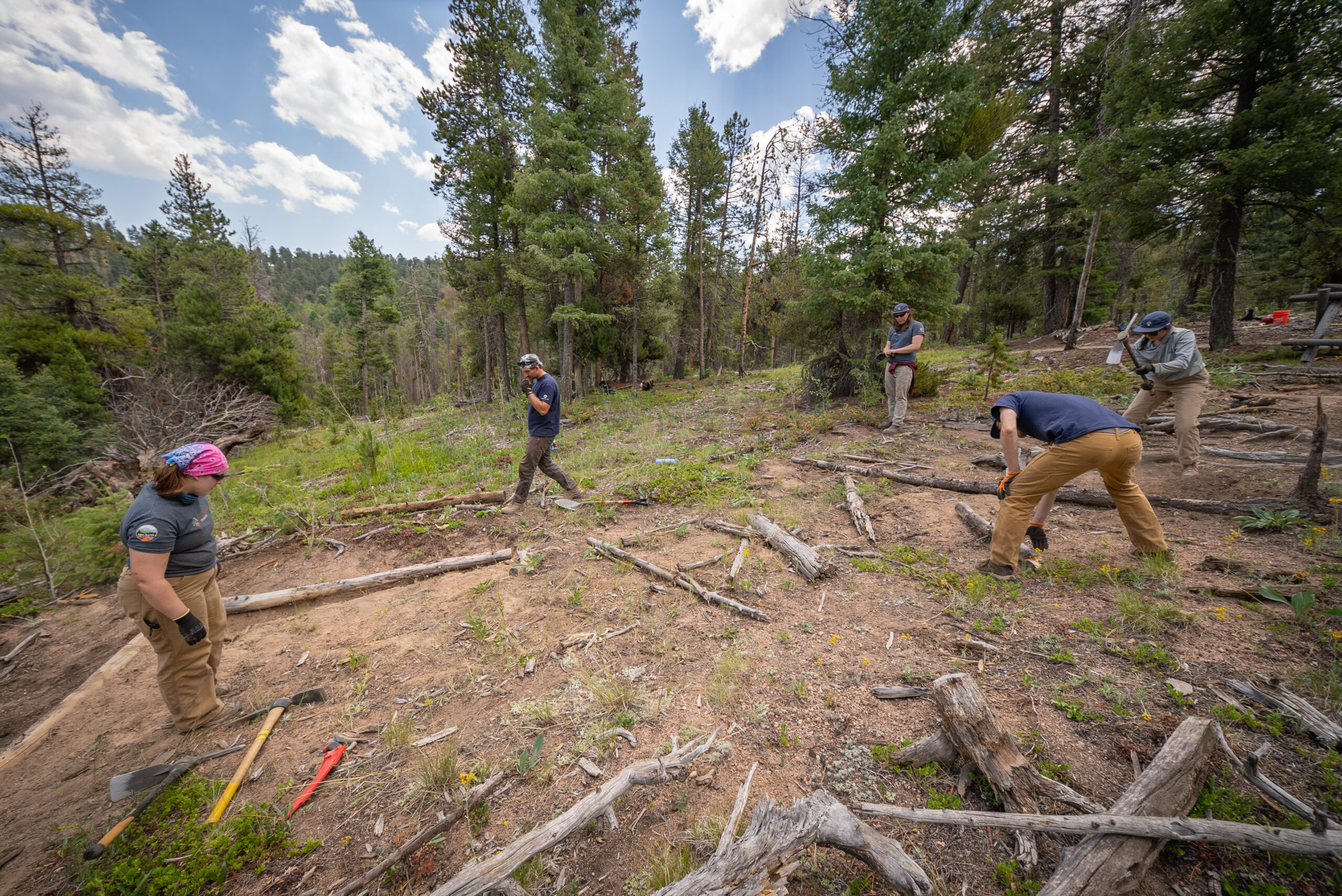
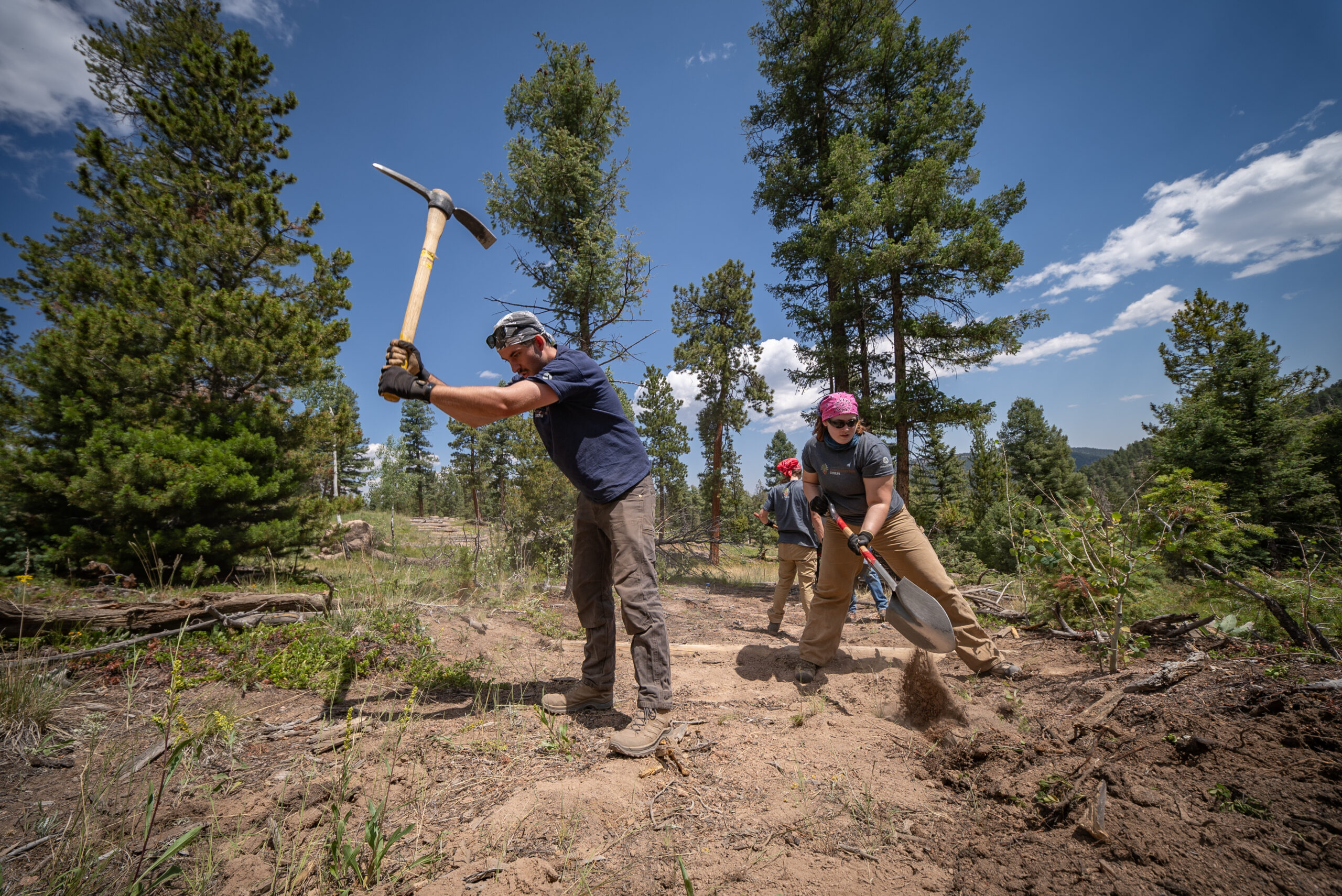
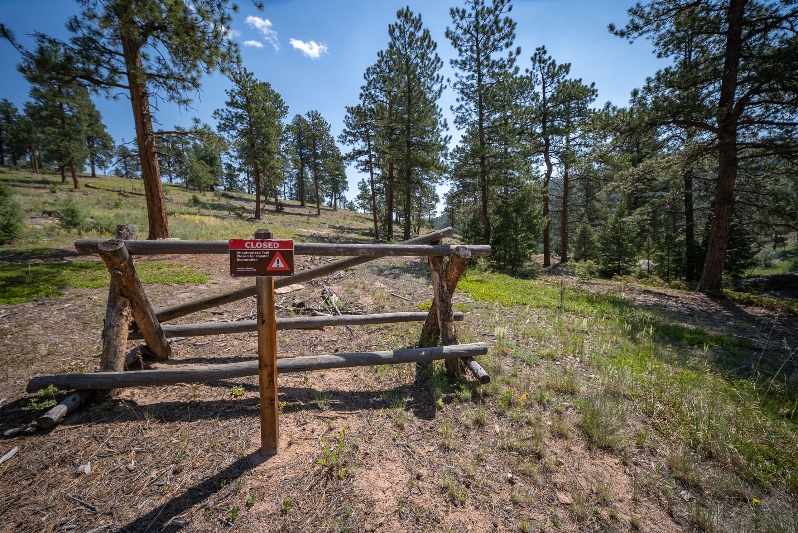
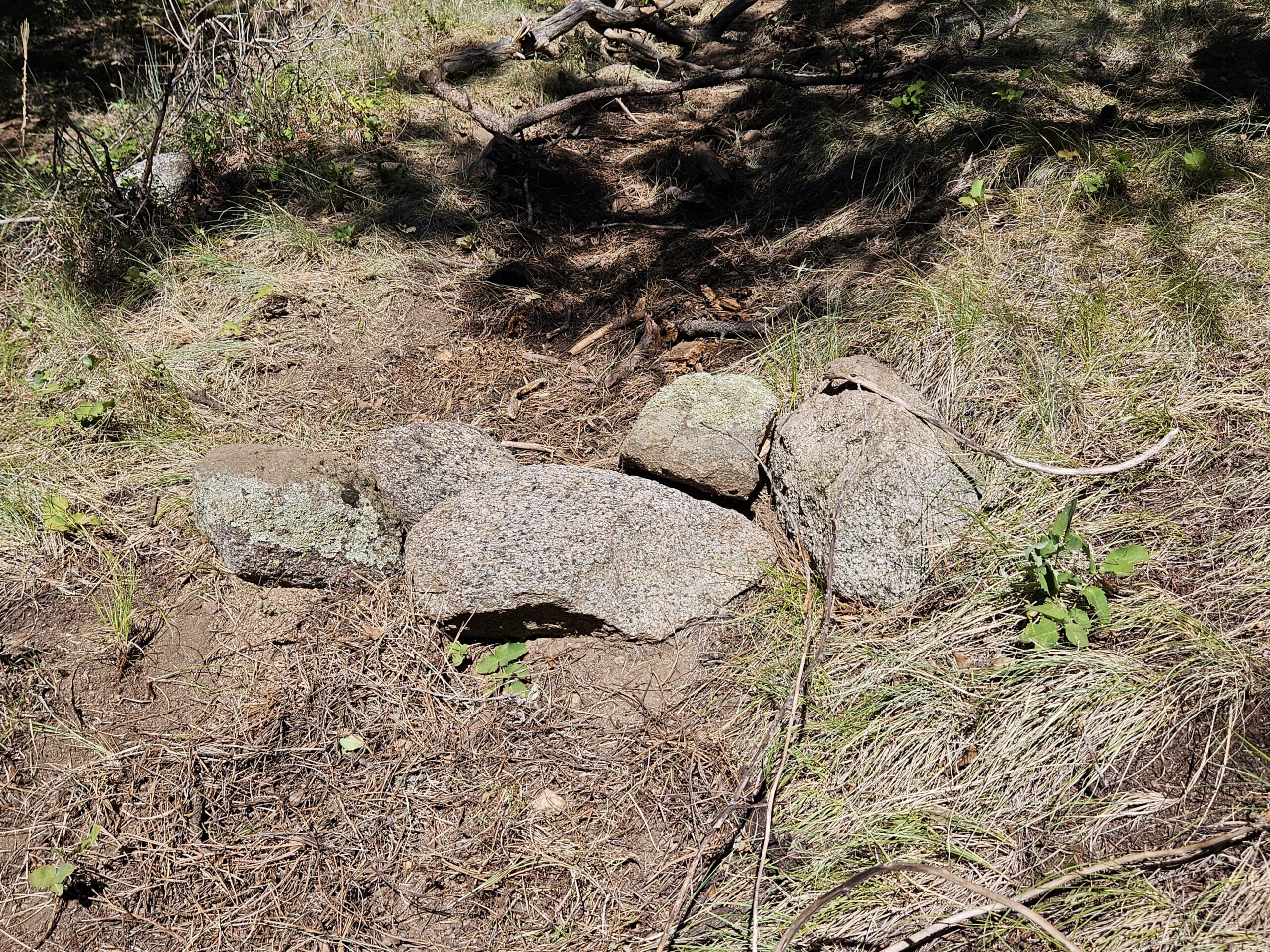
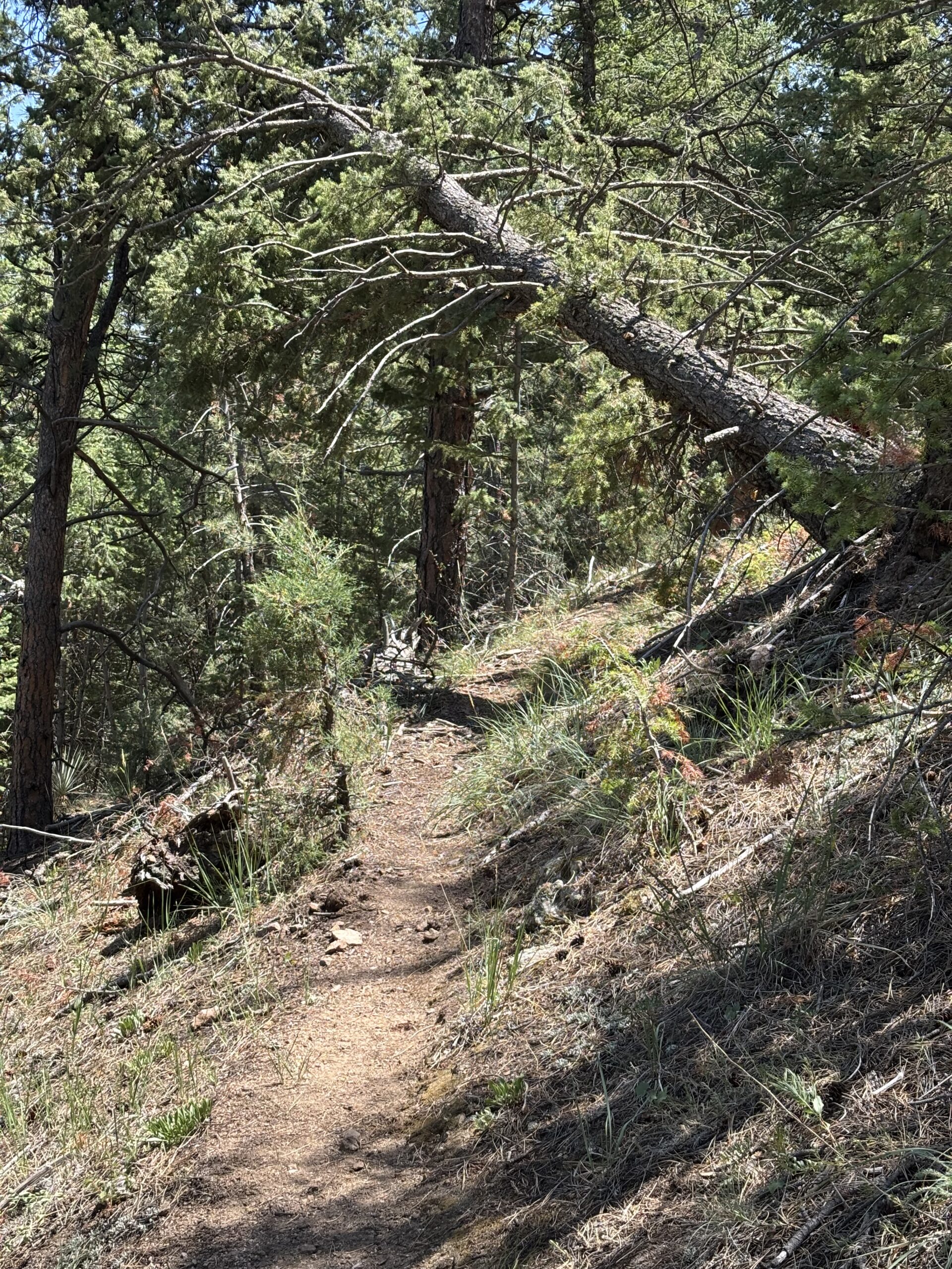
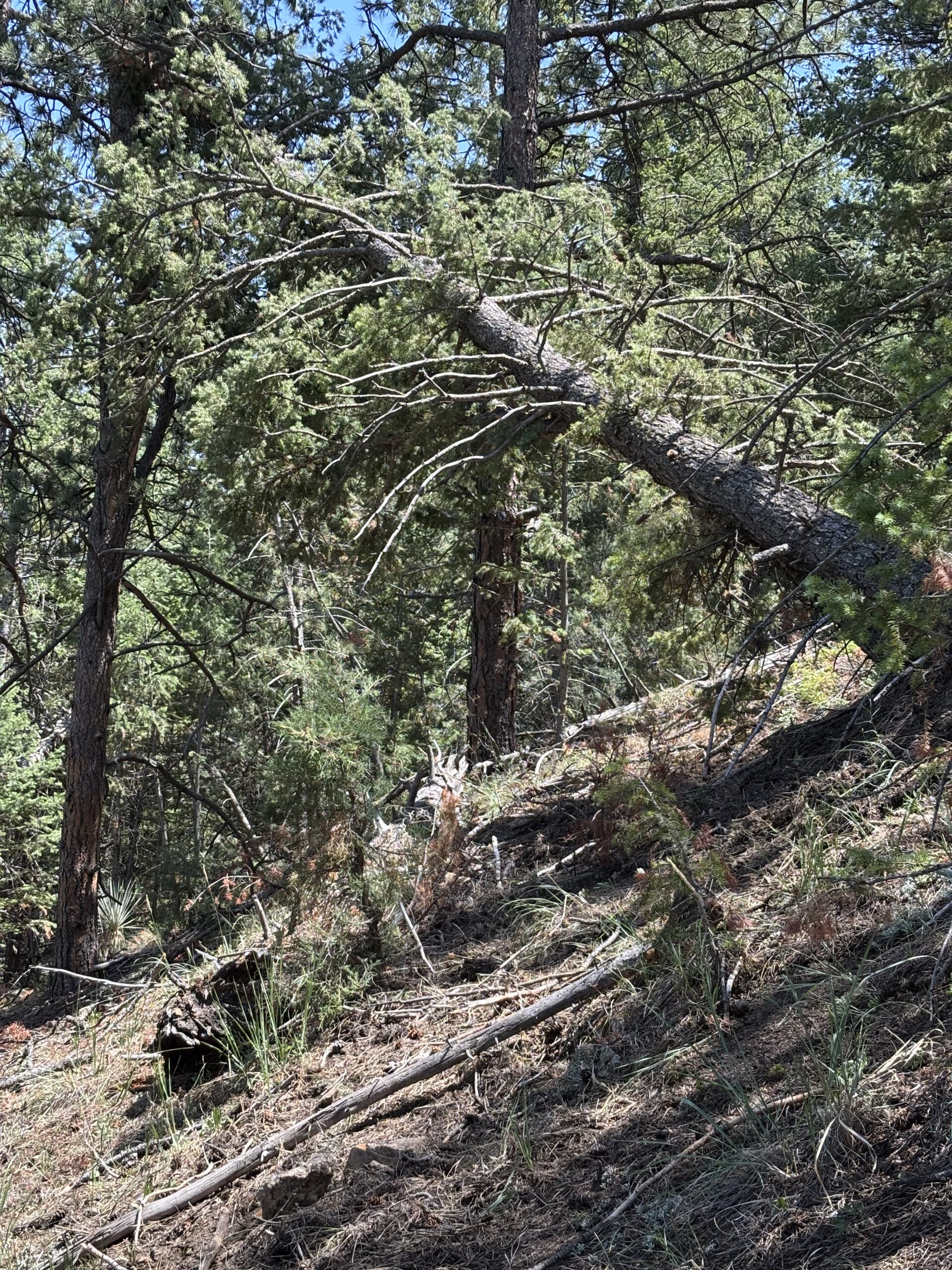
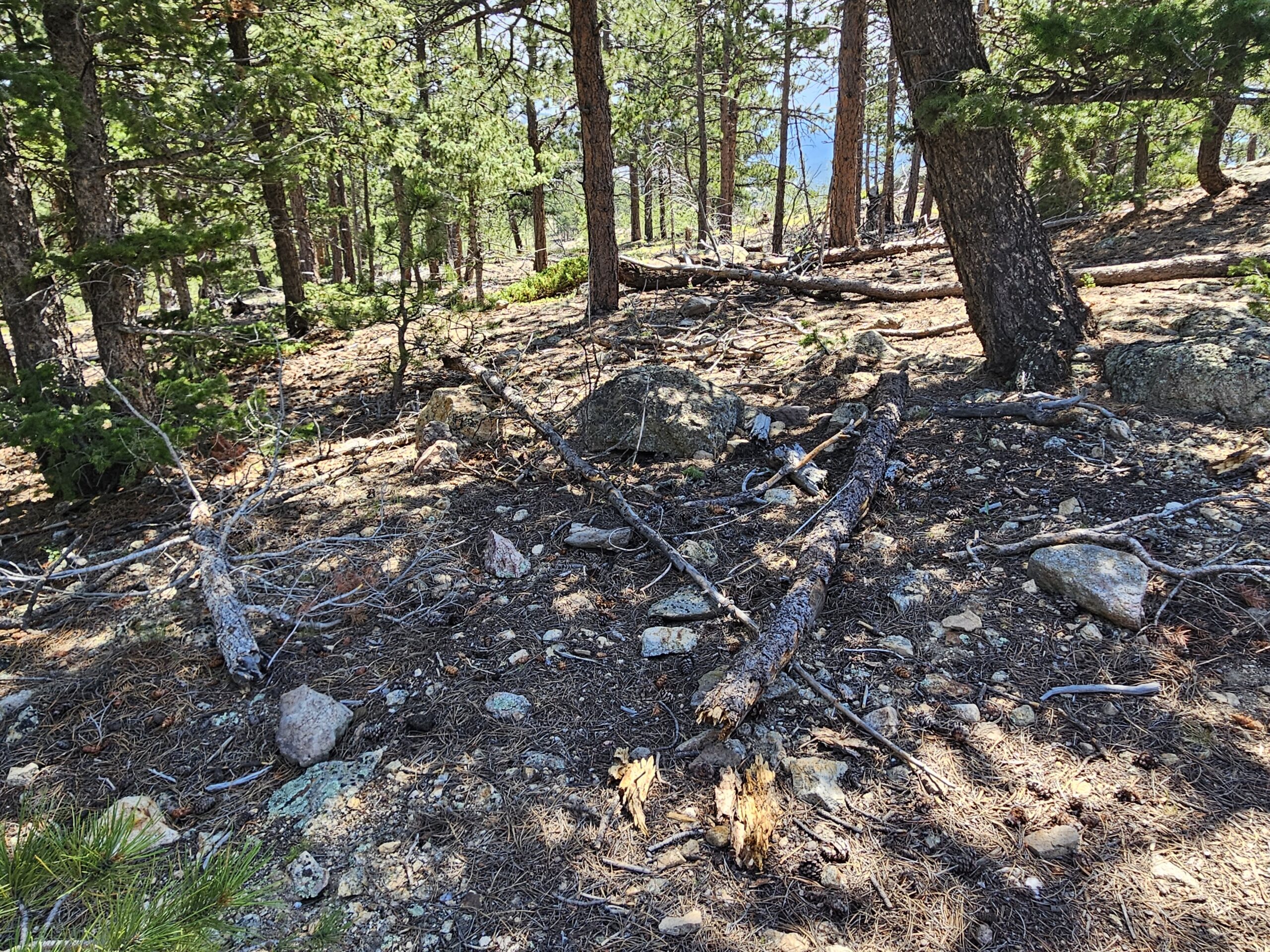
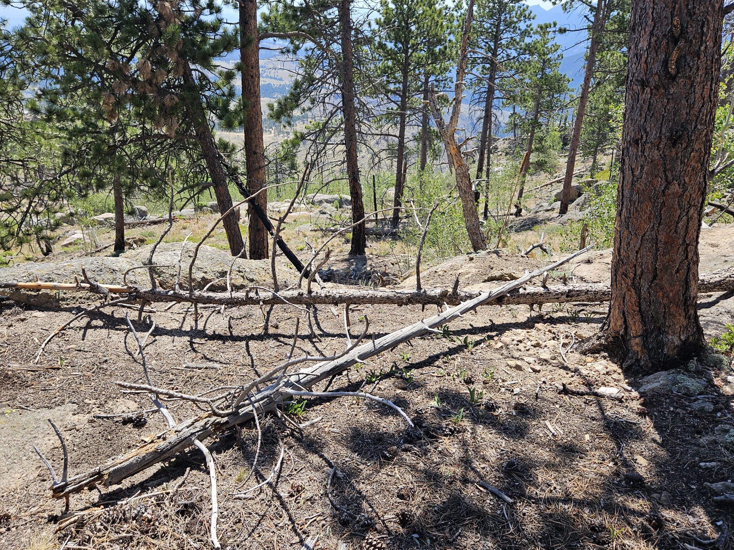
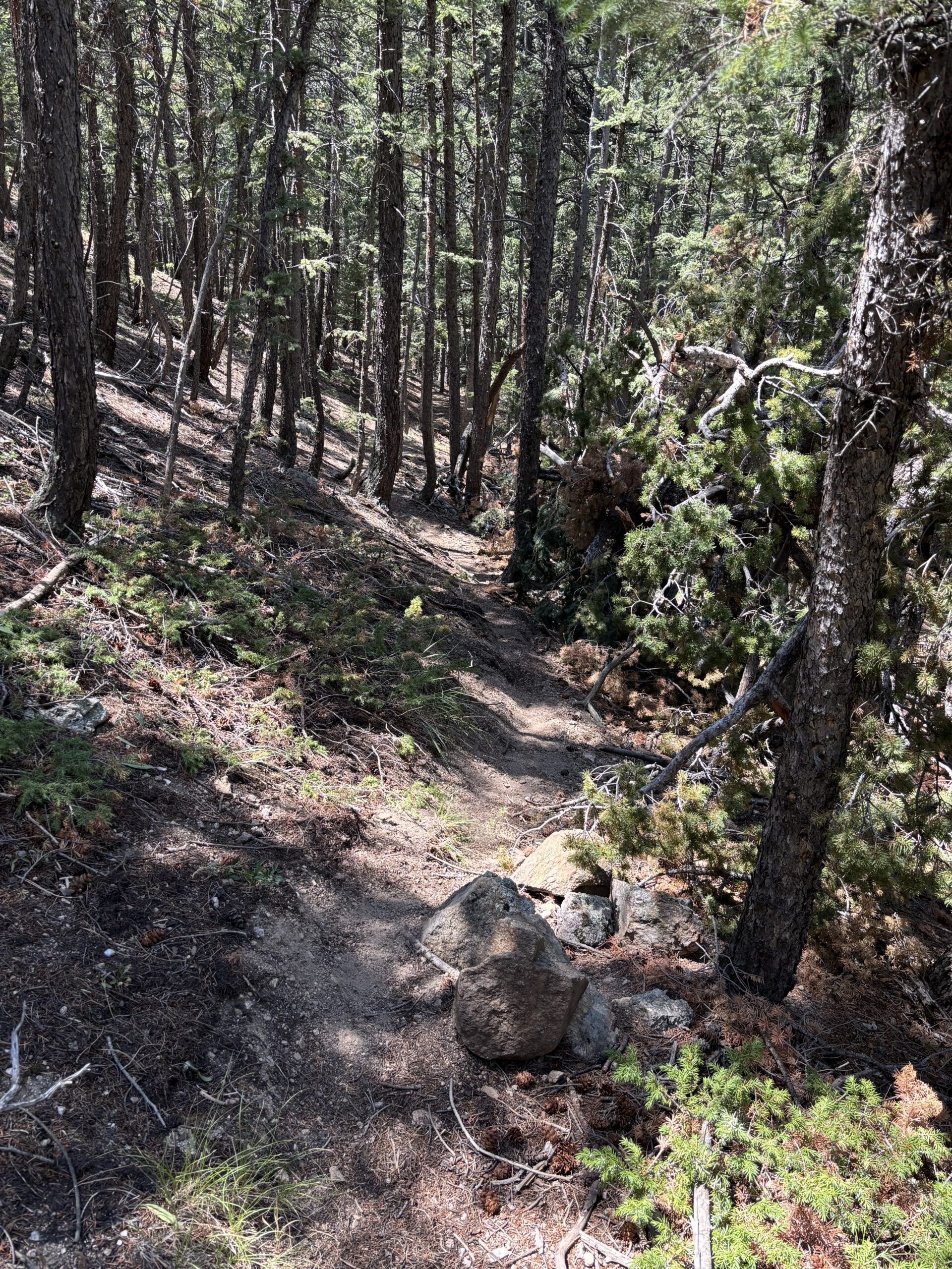
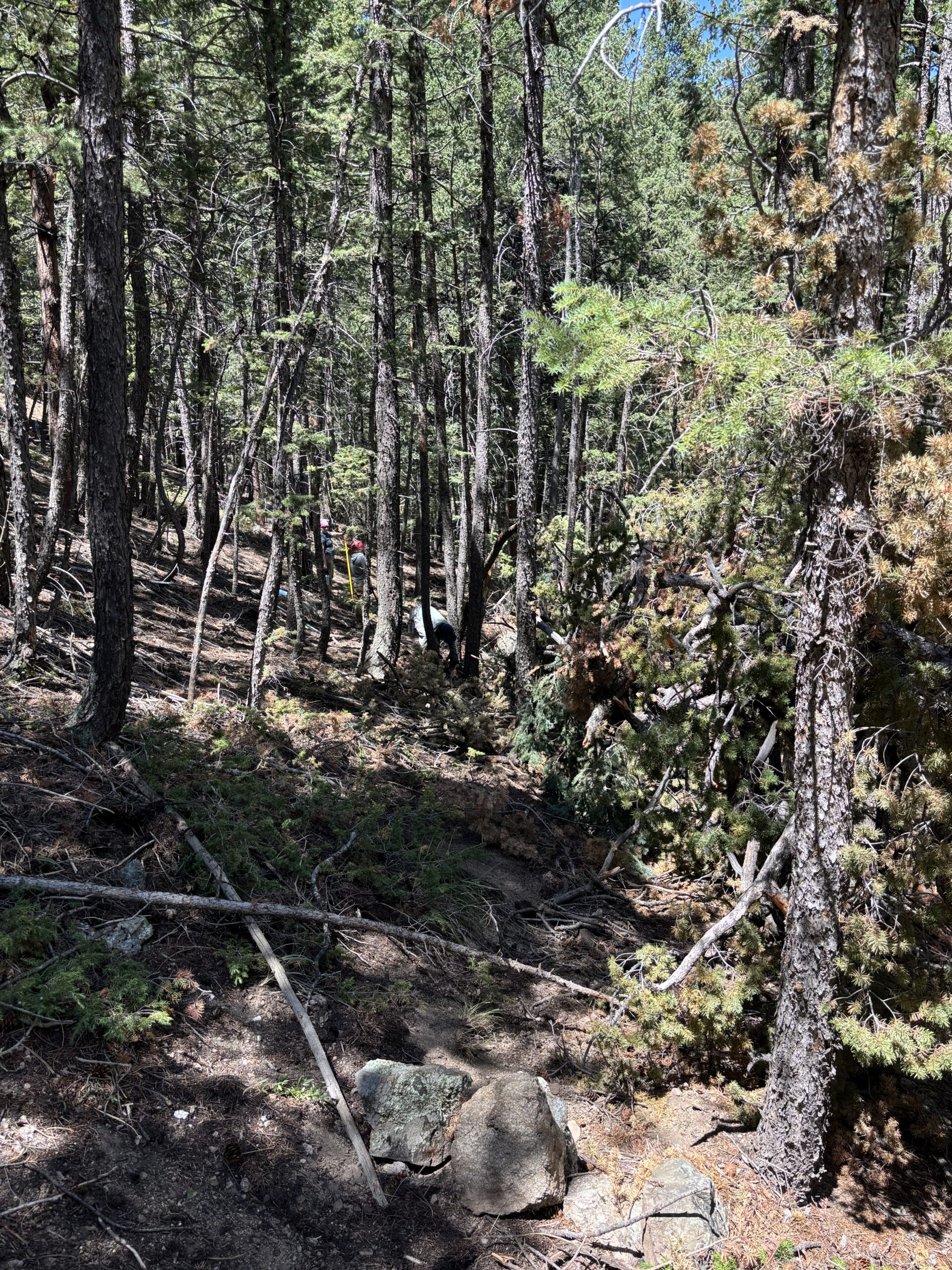
Unauthorized, or “social”, trails emerge when visitors create unplanned shortcuts or wander off designated routes, often harming sensitive habitats and causing erosion.
Many social trails start with good intentions, but unmanaged routes can cause long-term problems:
Environmental damage – erosion, habitat fragmentation, and impacts to wildlife and water.
Safety risks – steep, unstable, poorly designed, or trails without navigational aids can increase injuries and rescues.
Legal and funding risk – agencies face liability and grant eligibility may be jeopardized.
System impacts – unmanaged trails pull users away from sustainable, planned trail systems.
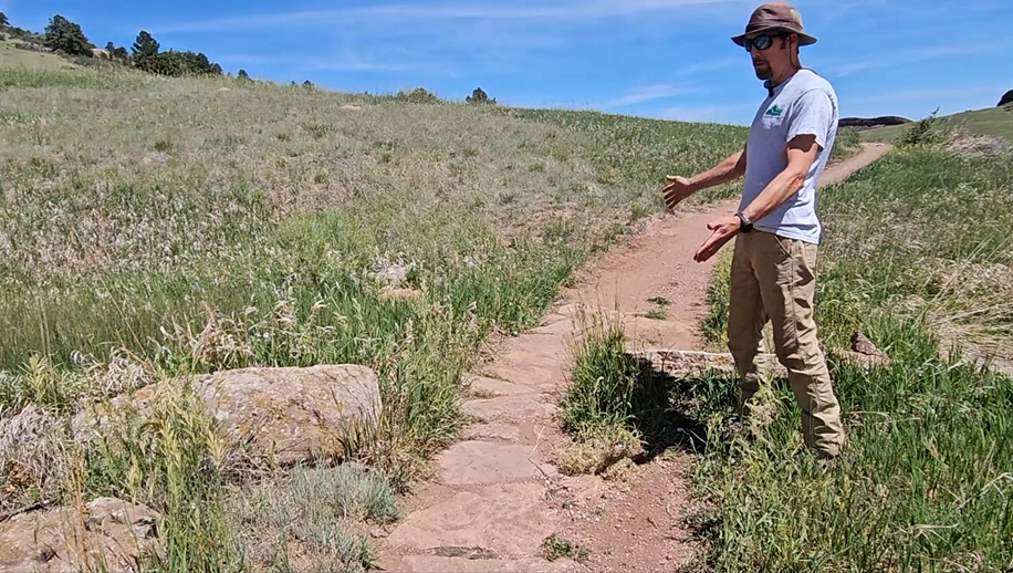
Photos of Unauthorized Trails and Damage Caused to Natural Resources
Project Overview
NoCo Places is working with partners and volunteers to map, prioritize, and rehabilitate these trails across the NoCo region. Our phased approach—from GIS scoping to field mapping and a new interactive dashboard—supports informed, equitable, and sustainable stewardship across jurisdictions.
Phase 1: Background Research and Scoping
GIS Basemap creation
Hotspot prioritization for each entity
Online research: resulted in 203 possible locations for unauthorized trails
Field Research: visiting locations in the field for possible unauthorized trails
Phase 2: Trail assessment and Mapping Inventory
GPSed unauthorized trails/roads to create inventory of linear features/miles with select attributes assigned
GPSed georeferenced photos/waypoints of unique identifiers
Phase 3: Compiling the Data
Data formatting and edits
Provide spatial inventory of unauthorized trail/roads as linear and point features in format compatible with GIS systems (shapefile)
Provide georeferenced photos to as unique identifiers to illustrate what is occurring
Methodology to Research Unauthorized Trails
Publicly available basemaps and data layers
Social platforms that collect user data
Field visits
Current Work
NoCo Places is working on the next phase of the unauthorized trails project. RRC Associates developed an unauthorized trails dashboard, similar in design to the mobile phone data dashboard, which enabled NoCo land managers to view the prevalence and impacts of unauthorized trails on the NoCo landscape at a regional level.
The trail data came from existing unauthorized trails mapping that each agency had undertaken, plus the over 345 miles of unauthorized trail data collected last summer by NoCo Places. This data was overlaid with NoCo’s biodiversity mapping, allowing land managers to develop a prioritized list of actions for these identified trails. As a result of the developed criteria, trails may be rehabilitated, continue to be monitored, or, in some cases, become part of an existing trail system.
While the data NoCo has is by no means a complete picture of unauthorized trails across the region, the dashboard allows additional mapping and data collection to be added as it becomes available.
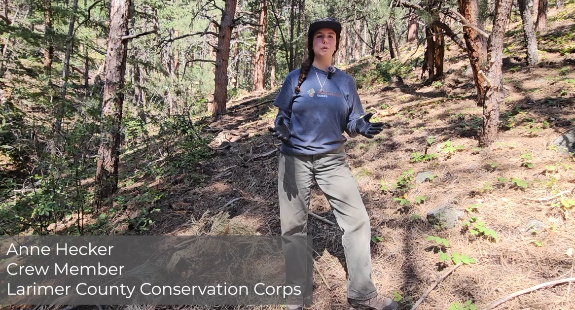
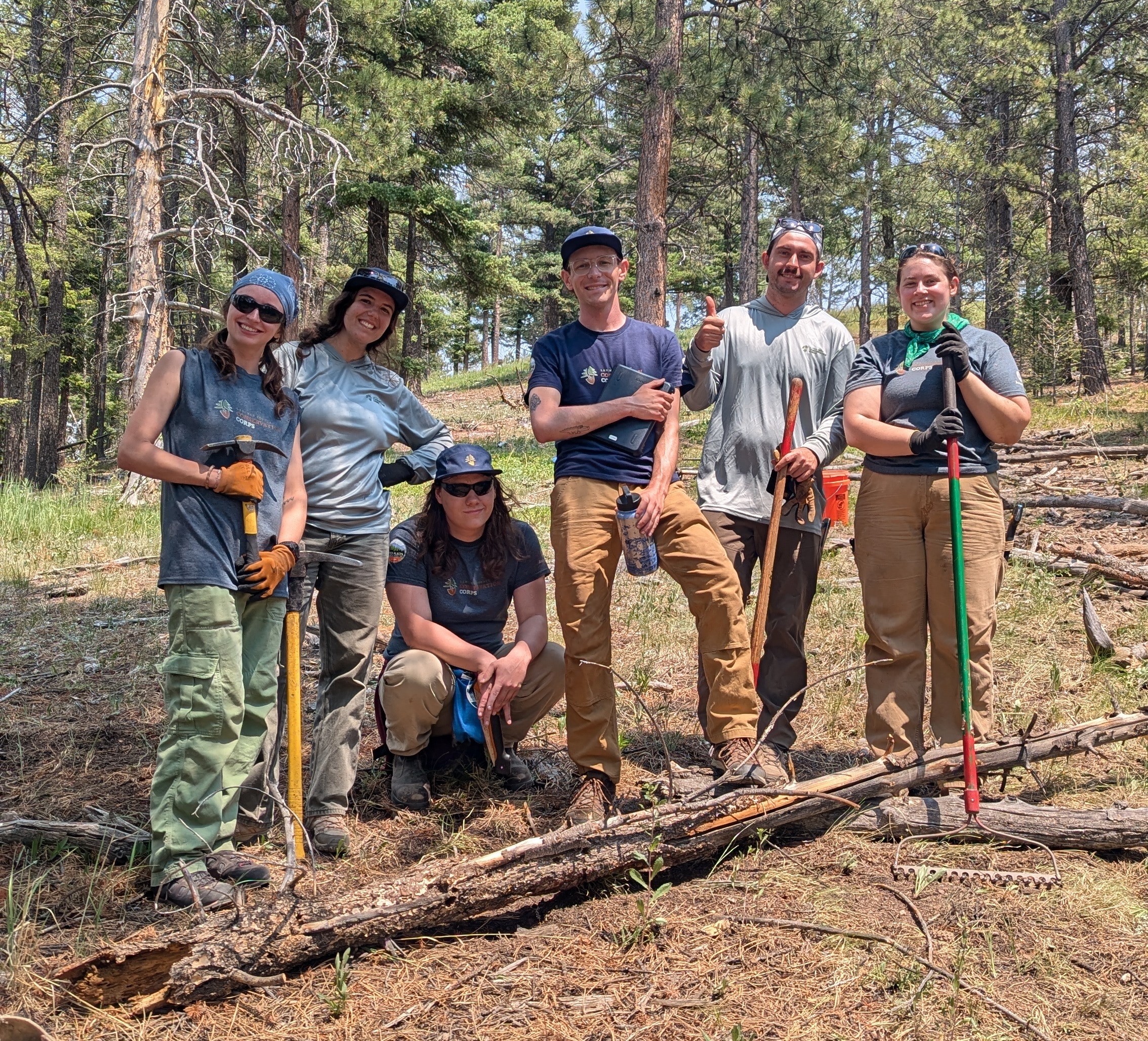
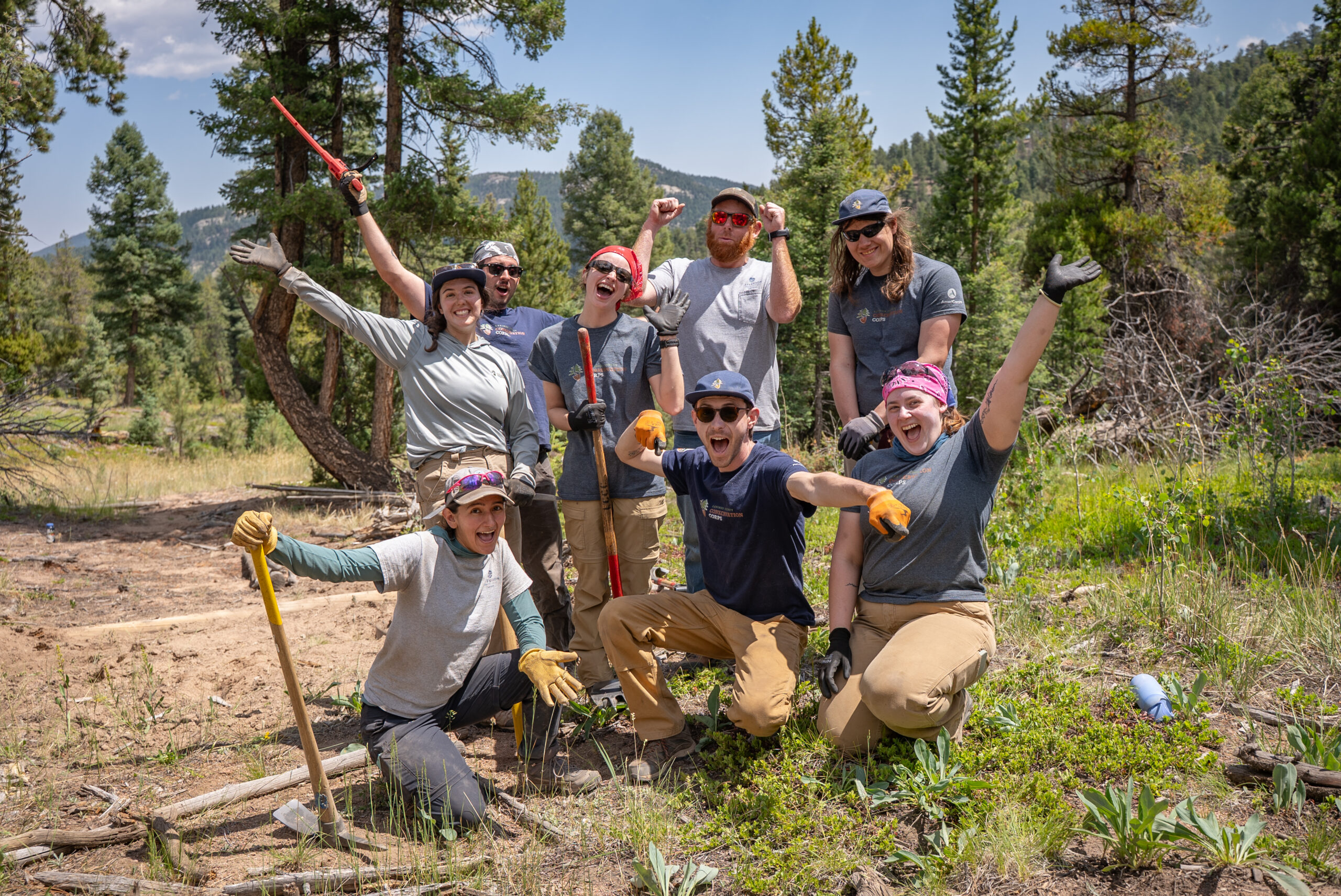
Larimer County Conservation Corps Trail Crew
NoCo Places is partnering with the Larimer County Conservation Corps on the trail restoration this summer and fall. Work began on June 22, 2026, and wrapped up in October.
Worksites & Plans
Site 1: Beaver Ranch Park, Jefferson County Parks & Open Space, June 22 - July 3
Work Completed:
0.93 miles of unauthorized trail closure and rehabilitation
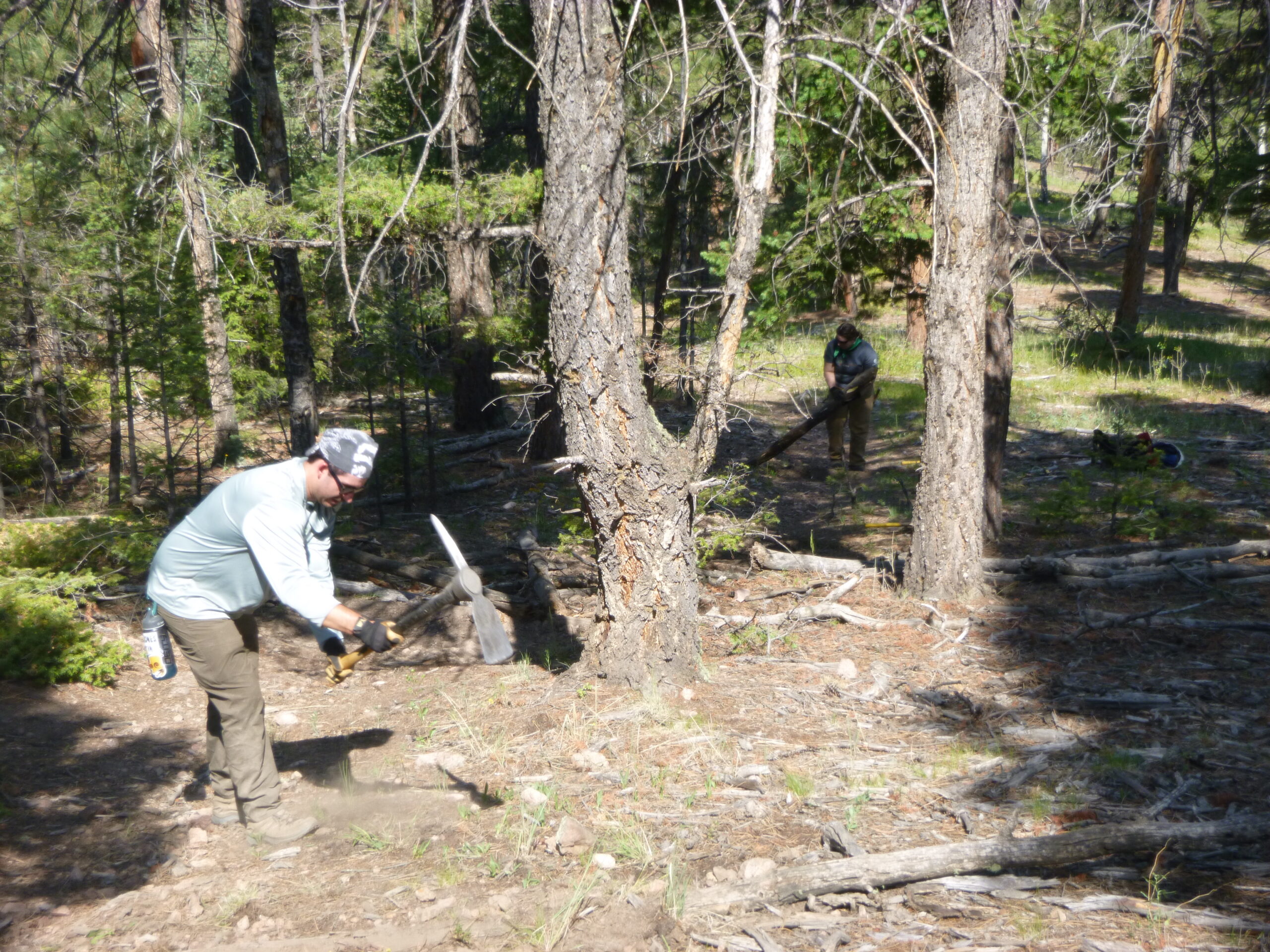
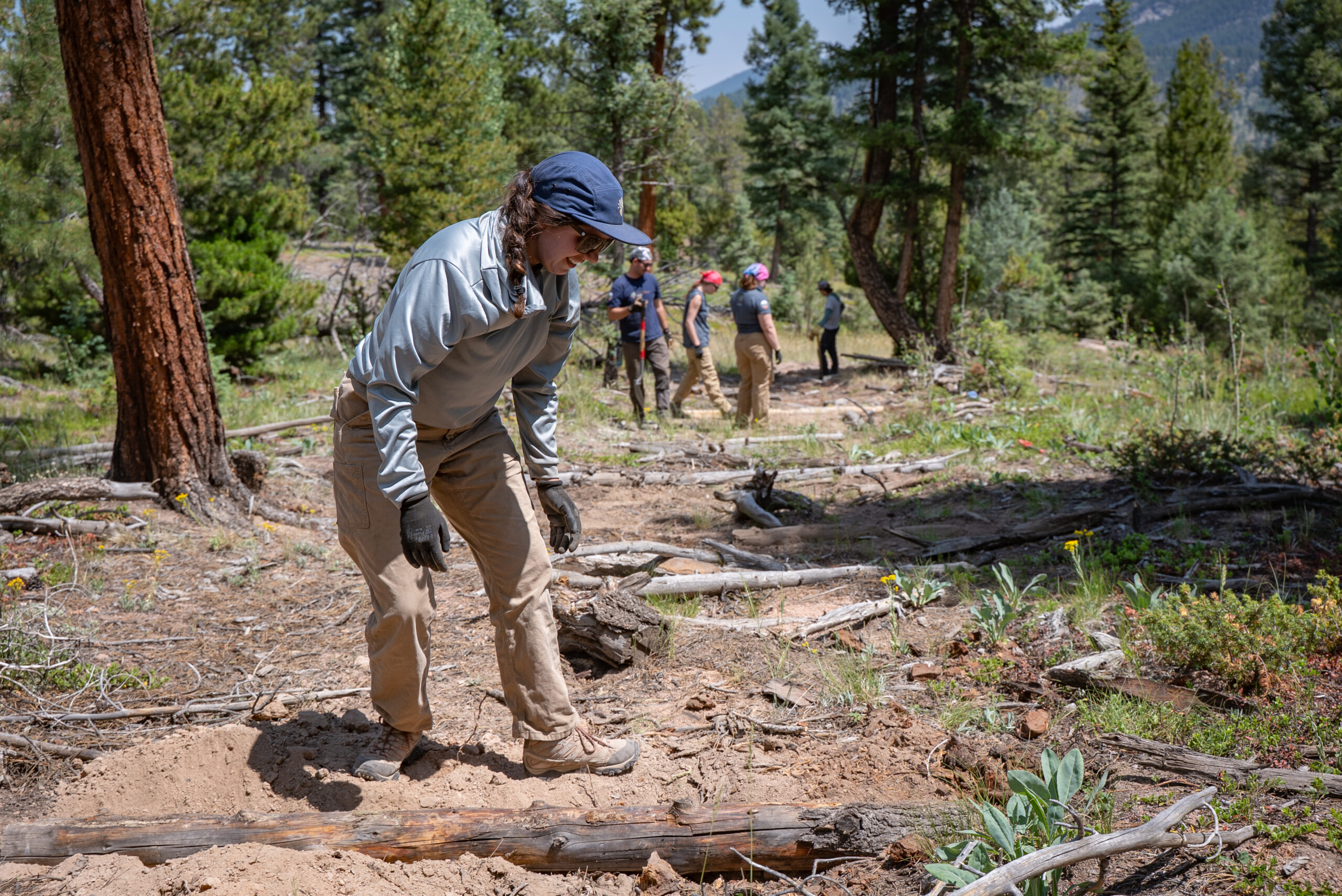
Installing log checks on steep slopes to prevent further erosion and create areas where sediment can build up to naturalize unauthorized trails
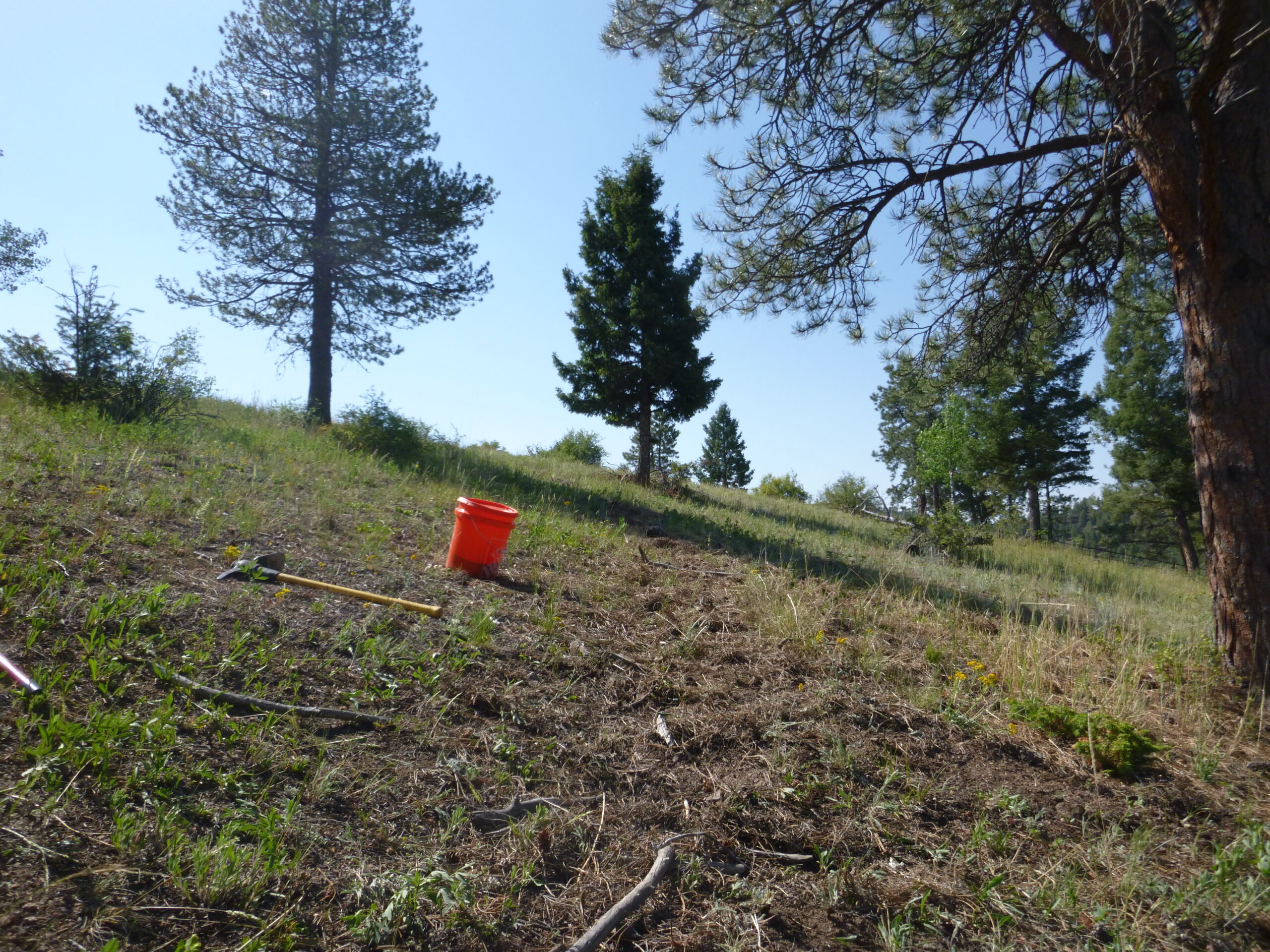
Spreading native seed mix over closed trail sections to assist with revegetation and naturalization
Regrading trail sections to remove edges of trail treads and create a more uniform cross grade to disguise the existence of unauthorized trails
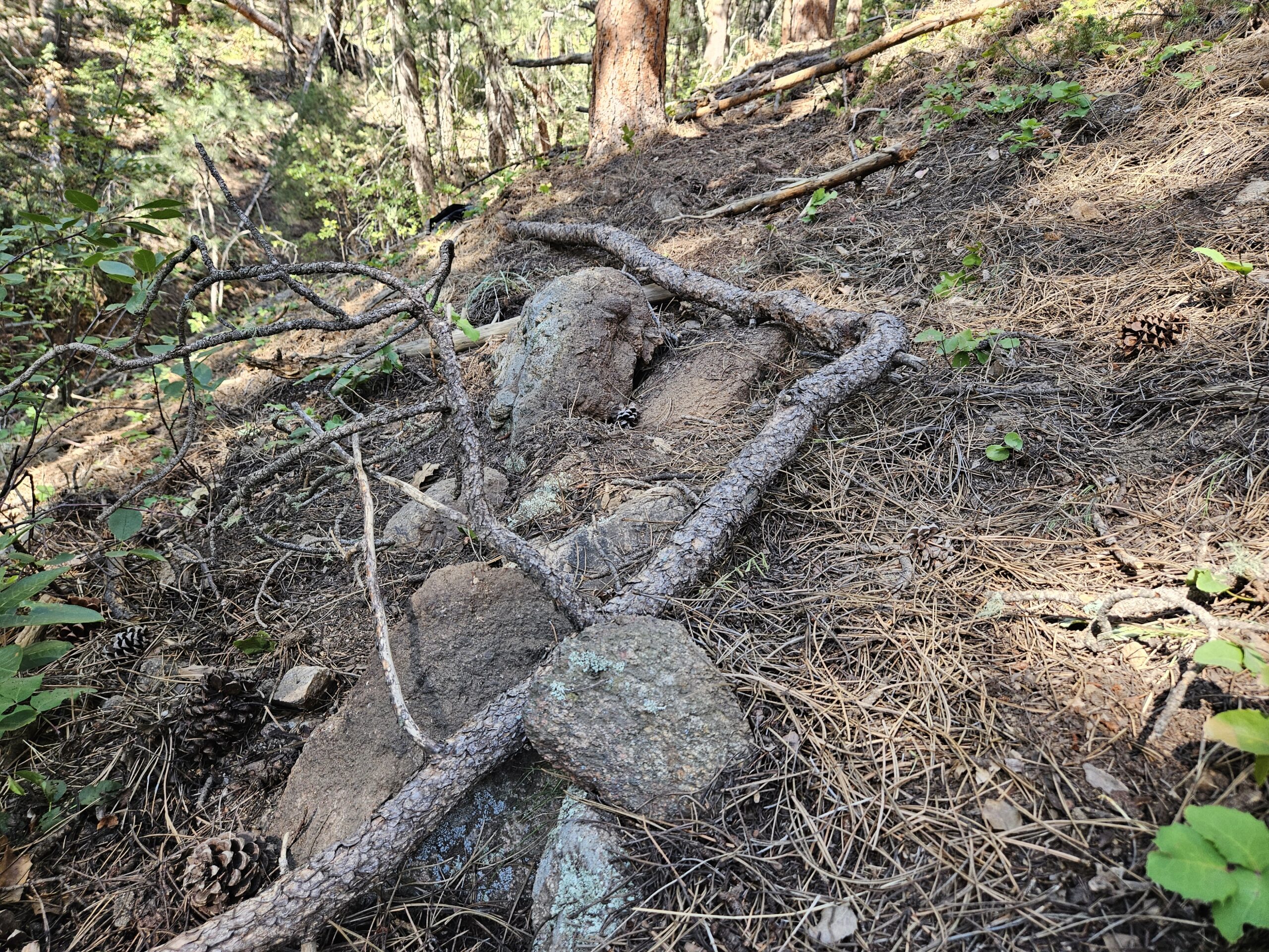
Spreading slash and organic material over the unauthorized trail sections to create physical and visible barriers to users
Site 2: Between the Four Mile Link Trail and the Betasso Preserve Trailhead, Boulder County Parks & Open Space, July 6 - 24
Work Completed:
0.6 miles of unauthorized trail rehabilitation at Avanti Site
Regrading trail sections to remove edges of trail treads and create a more uniform cross grade to disguise the existence of unauthorized trails
Spreading slash and organic material over the unauthorized trail sections to create physical and visible barriers to users
1 mile of unauthorized trail rehabilitation at Betasso Preserve
Regrading trail sections to remove edges of trail treads and create a more uniform cross grade to disguise the existence of unauthorized trails
Spreading slash and organic material over the unauthorized trail sections to create physical and visible barriers to users
Installing rock features to prevent further erosion and create areas where sediment can build up to naturalize unauthorized trails
Site 3: West Magnolia Trail - US Forest Service Boulder Ranger District, July 27 - Aug 7
Work Completed:
8 miles of trail mapped
1 week of hiking trails at West Magnolia Confirming routes of existing trail and mapping of unauthorized trail and campgrounds
223 feet of unauthorized trail rehabilitated
Spreading slash and organic material over the unauthorized trail sections to create physical and visible barriers to users
852 feet of new trail constructed
Using hand tools to follow behind a trail dozer to establish trail tread, backslope and define the critical edge
This new trail provides additional sustainable, recreation opportunities for hikers, equestrians, and mountain bikers
Note: the Larimer County Conservation Corps crew came in following work performed by a US Forest Service crew. The Corps is helping to finish out the remaining work.
Site 4: Elkhorn Creek Trail - USFS Canyon Lakes Ranger District, Aug 10-14
Work Completed:
489 feet of unauthorized trail rehabilitated
Decompacting soil and planting native vegetation plugs on unauthorized trail through sensitive meadow habitat
Spreading slash and organic material over the unauthorized trail sections to create physical and visible barriers to users
40 feet of fence installed
Installing buck-and-rail fence as a physical barrier to users
Site 5: Rocky Mountain National Park, Aug 17-28
Work Completed:
269 feet of unauthorized trail rehabilitated on Lawn Lake Trail
1,796 feet of unauthorized trail rehabilitated on Emerald/Nymph Lake Trail
0.3 miles of unauthorized trail rehabilitated on Gem Lake Trail
For all trails, project work included:
Spreading slash and organic material over the unauthorized trail sections to create physical and visible barriers to users
Targeting placement of material to constrict pathways and access to desirable viewpoints to minimize impact to surrounding habitat
Site 6: Herman Gulch Trail - Clear Creek County, Aug 31 - Sept 11
Work Completed:
607 feet of unauthorized trail rehabilitated
Hiking 3 miles into project site
Spreading slash and organic material over the unauthorized trail sections to create physical and visible barriers to users
1,937 sqft of native seed spread
Spreading native seed mix over closed trail sections to assist with revegetation and naturalization
Site 7: Denver Mountain Parks, Sept 14-25
Work Completed:
20 feet of multi-tier rock wall constructed
Constructing a rock wall with 6 tiers to reduce erosion of a section of trail with steep cross-slope causing heavy erosion
This new rock wall creates a safe, durable surface for trail users and provides structural support for heavily eroded trail structure. It prevents trail users from creating unauthorized trails or widening existing trail treads
Site 8: Lady Moon Trailhead - USFS Canyon Lakes Ranger District, Sept 28 - Oct 2
Work Completed:
264 feet of unauthorized trail rehabilitated
Spreading slash and organic material over old 4 wheel track to create physical and visible barriers to users and prevent users from deviating from authorized trail
448 feet of trail improved
Removing and redistributing spoil piles (excess dirt from initial tread creation) along side of new trail
Planting native vegetation plugs to assist with revegetation and naturalization
30 feet of rock walls installed
Constructing mono-tier rock walls to reinforce existing trail tread and prevent erosion
These rock walls will help to create a durable surface for trail users and prevent them from widening the trail tread to avoid eroded sections
Worksite Photo Gallery
Photo Credits: Anne Ludolph, Grady Hall, Katie Matthews, and LCCC
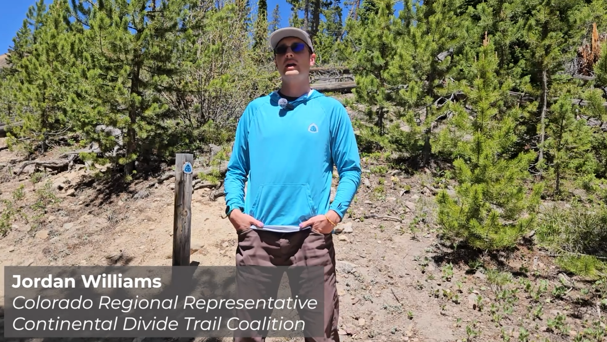
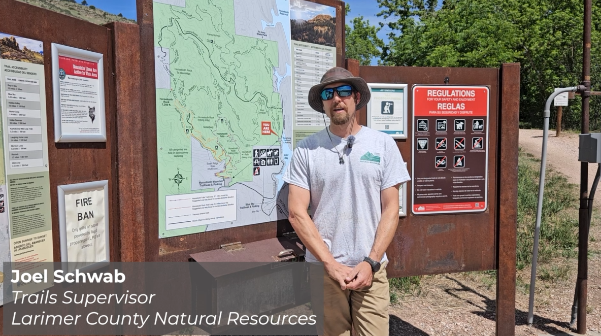
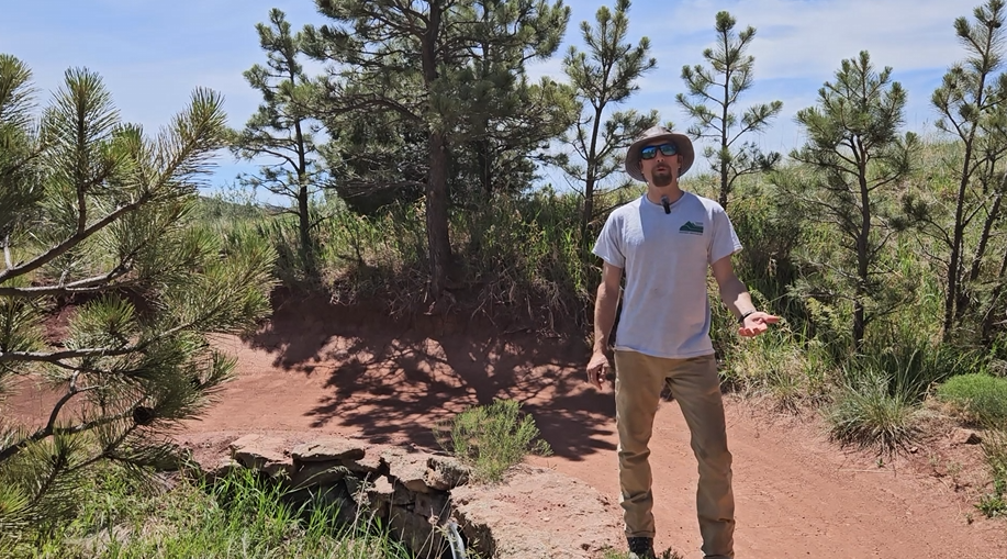
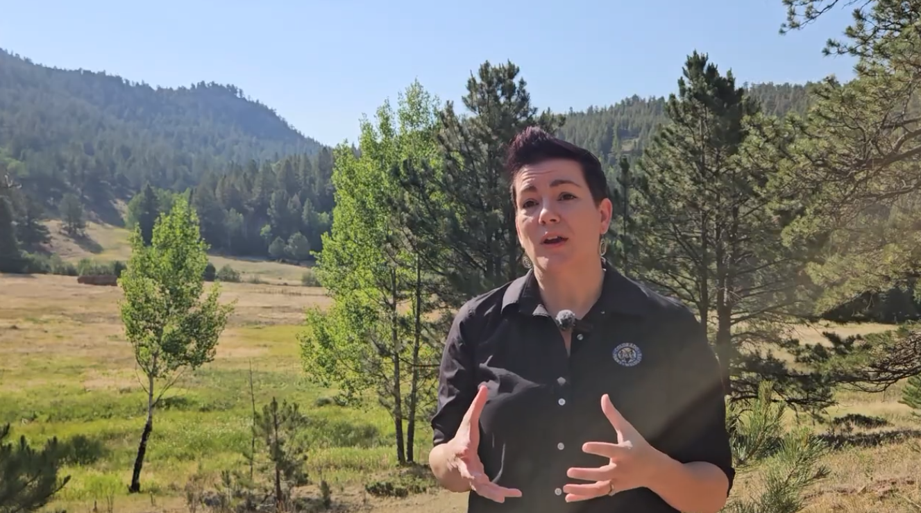
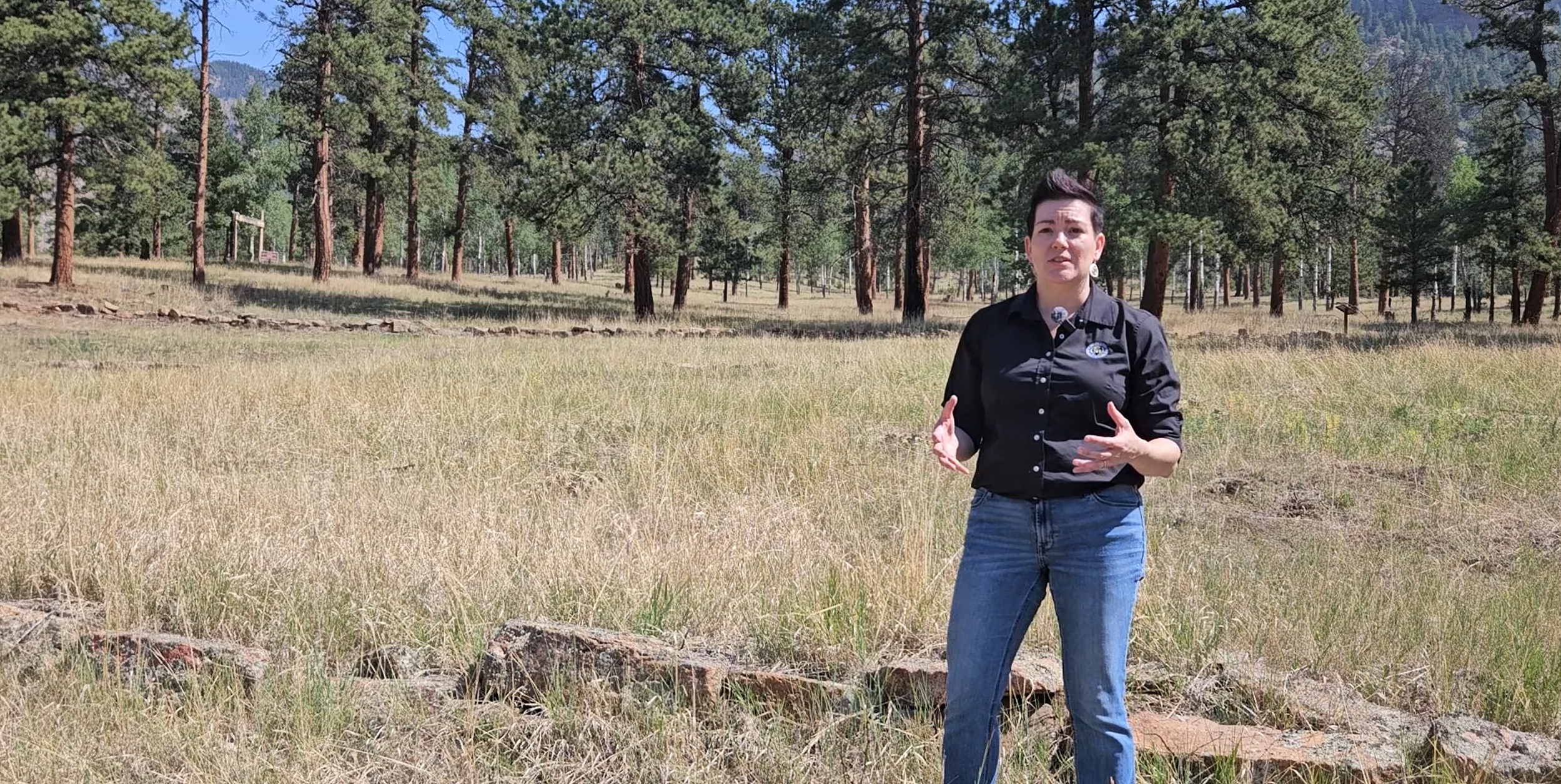
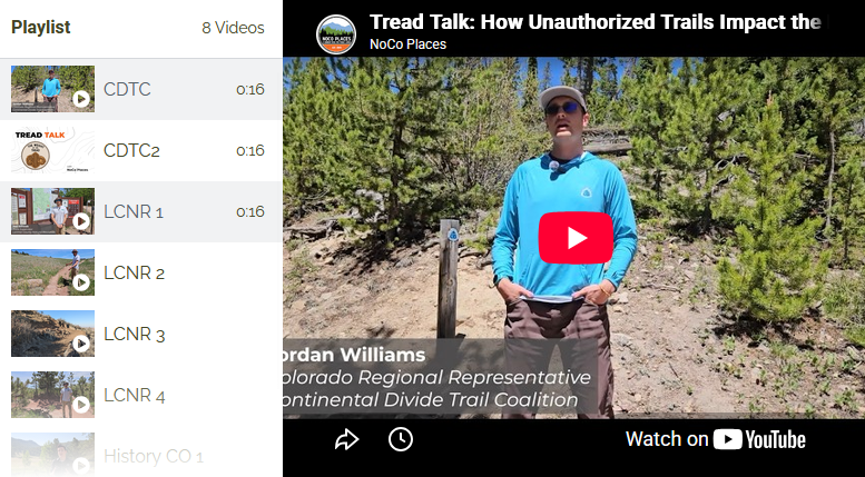
In our “Tread Talk” video series, NoCo stakeholders and agency staff share the different ways that unauthorized trails have a negative cumulative effect over time.
Authorized trails are planned and built by land managers through careful evaluation of the landscape, wildlife habitats, water movement, and historic and cultural resources.
Learn more in the video clips below featuring the Continental Divide Trail Coalition, Larimer County Natural Resources, and History Colorado.
Playlist
10 Videos
0:16
0:16
0:16
Stay Tuned
Please check back soon for our continued progress on this project or contact us with any questions.
Thank You to Our Grant Funders
This project was made possible with grant funding from Great Outdoors Colorado and Colorado Parks & Wildlife through the Regional Partnerships Initiative Grant Program.